Gr 7 Term 1 Social Science Geography Maps, Scale and distance
R92.00
Use, by you or one client, in a single end product which end users are not charged for. The total price includes the item price and a buyer fee.
Resource Description
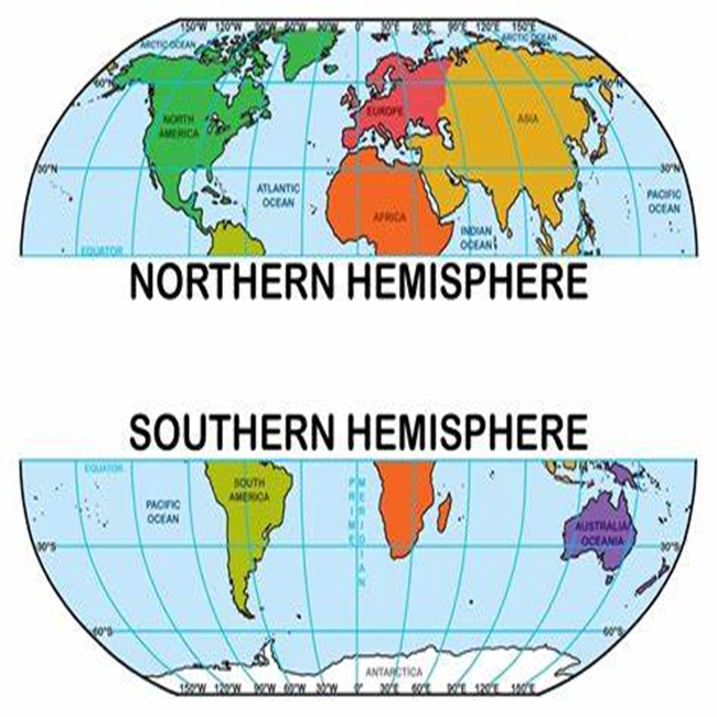
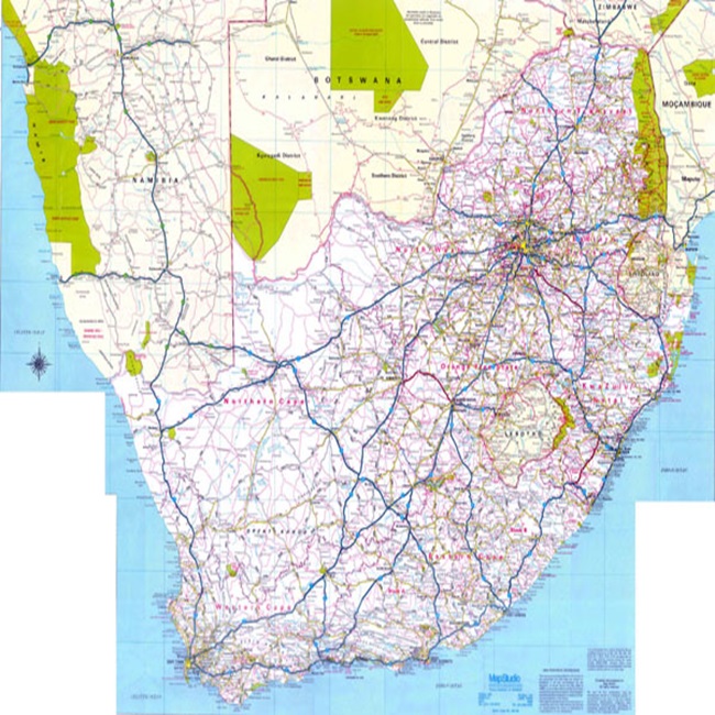
In Grade 7 Social Science Geography, under the CAPS (Curriculum and Assessment Policy Statement) curriculum in Term 1, students explore the fascinating world of maps, scale, and distance. This section introduces them to the basic concepts and tools essential for understanding and interpreting maps.
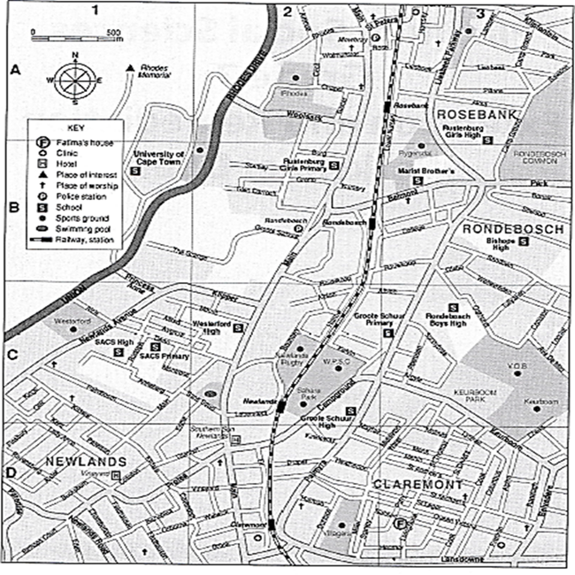
Maps: This unit begins with an introduction to maps, explaining them as representations of the earth’s surface. Students learn about different types of maps, such as physical, political, and thematic maps, and their specific uses. They explore key map elements like the title, legend (or key), compass rose, and grid system, which help in reading and understanding maps accurately.
Scale: Scale is a crucial concept in map reading, teaching students how to interpret the real-world distance between locations on a map. They learn about different types of scales, including verbal scales, graphic scales (or scale bars), and ratio scales. Understanding scale allows students to grasp the concept of proportion and relative size on a map, which is fundamental in geography.
Distance: In this section, students learn how to measure and calculate distances on maps, using the scale as a reference. They engage in practical exercises, such as measuring the distance between two points on a map and converting that distance into real-world measurements. This skill is not only fundamental for geographic understanding but also enhances their analytical and mathematical skills.
Through interactive activities, such as map creation and analysis, students develop a deeper understanding of how maps represent our world. They also gain an appreciation of how geographical information is gathered, represented, and used in various contexts. This unit lays the groundwork for more advanced geographical studies and helps students become more aware of their spatial environment.


 KES(KSh)
 USD($)
 GBP(£)
 GHS(₵)
 NGN(₦)
 MUR(₨)
 BWP(P)
 AUD($)
 TZS(Sh)
 INR(₹)
 PHP(₱)
 AED(د.إ)