Grade 5 Social Sciences Geography term 1 activity book (interactive)
R132.25
Resource Description
This fun activity book is packed full of activities for term 1.
It contains the following:
World map and compass directions.
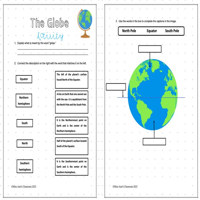
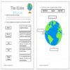
Location of the equator, north and south poles on a globe.
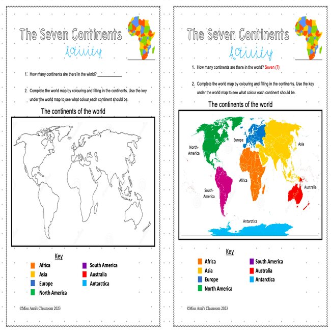
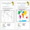
The seven continents (review of Grade 4).
Eight points on the compass 1 worksheet.
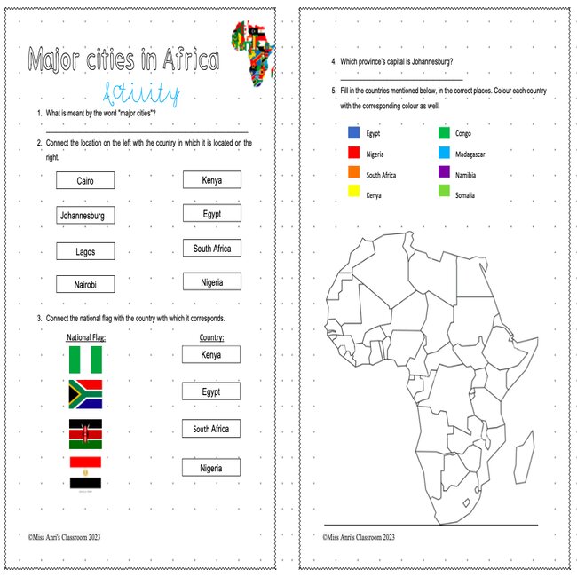
Africa our continent. (oceans, countries and major cities)
Location of Africa on a world map and globe (review of Grade 4).
Oceans around Africa (names and locations).
Concepts of countries and borders 1 worksheet
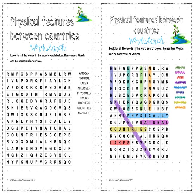
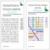
Physical features such as border fields between countries.
Countries of Africa: Location of all countries.
Africa our continent (oceans, countries and most important cities).
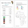
Major cities of Africa – including Cairo, Lagos, Johannesburg, Nairobi.
Africa our continent.
South Africa’s neighbouring countries (Botswana, Lesotho, Mozambique, Namibia, Swaziland, Zimbabwe).
Concept of capitals-Capitals of South Africa and neighbouring countries.
Phenomena on a physical map: high and low lying areas, mountains, rivers, lakes.
Ways in which altitude is shown on a map.
A physical map of Africa
Africa’s highest mountains: Kilimanjaro and Mount Kenya.
Southern Africa’s highest peak.
Africa’s three largest lakes: Victoria, Tanganyika, Malawi.
A physical map of Africa
Africa’s great rivers: Nile, Niger, Congo, Zambezi, Limpopo, Gariep-Oranje
Southern Africa’s famous waterfalls: Victoria, Maletsunyane, Augrabies.
Africa’s great deserts: The Sahara and the Namib.


 KES(KSh)
 USD($)
 GBP(£)
 GHS(₵)
 NGN(₦)
 MUR(₨)
 BWP(P)
 AUD($)
 TZS(Sh)
 INR(₹)
 PHP(₱)
 AED(د.إ)